Site operations
Coordinates site activity, daily sequencing, material flow and operational readiness on active construction projects.
On-site construction execution
Field Infrastructure, Execution Logistics and Delivery
FIELD is the ForceWorks layer for on-site construction operations, site management, logistics and contractor integration. It turns planning and documentation into controlled field execution.
FIELD
Coordinates site activity, daily sequencing, material flow and operational readiness on active construction projects.
Connects design intent, procurement timing, contractor availability and physical execution capacity.
Uses the construction company layer for practical site execution where project scope requires direct construction capacity.
Brings in external capacity without forcing every project into a permanent internal crew structure.
FW · FLY
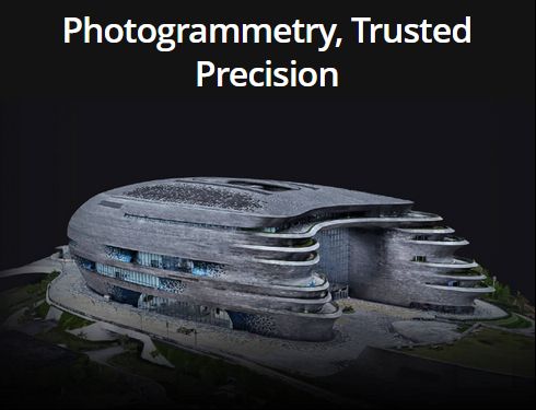
Aerial CaptureFlight Layer Yield — georeferenced aerial data capture, photogrammetric processing and BIM-ready deliverables
DJI Mavic 3 Enterprise with RTK module delivers centimeter-level accuracy in real time via AGROS network connection. Mechanical shutter, 20 MP, Smart Oblique for full facade and roof coverage without manual repositioning.
Overlapping aerial images processed into georeferenced deliverables ready for import into CAD, Civil3D, Revit and Unreal Engine:
Periodic site overflights for VDC progress documentation. Volumetric calculations for earthwork and fill. Material layer separation before backfill. Monthly retainer model for long-duration projects - weekly flights, structured reports, direct stakeholder delivery.
FLY operates in direct collaboration with licensed geodetic partners. The surveyor provides legal sign-off, ground control validation and existing client access. FLY provides the aerial capture, processing and visualization pipeline that elevates their service offer into a new tier.
Processing capabilities · powered by DJI Terra


System logic
ForceWorks modules
Status
This page can work as the first public placeholder for the FIELD module. The structure is ready for later service packages, case studies, pricing blocks, forms, app links or project examples.